Thumbnail with text and photographs is at
www.caraorman.ro/caraorman/eng.html
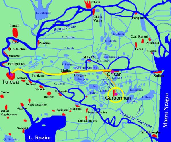
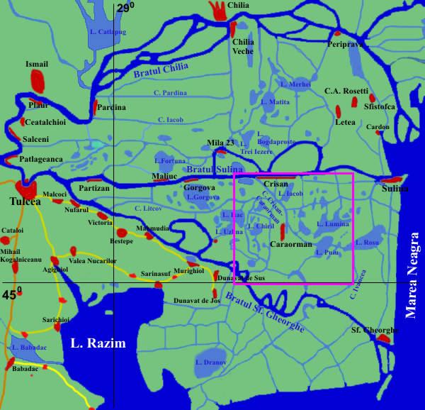
Full-sized map is from
www.caraorman.ro/locuri/harti/Delta.html
Text accompanying thumbnail reads in part:
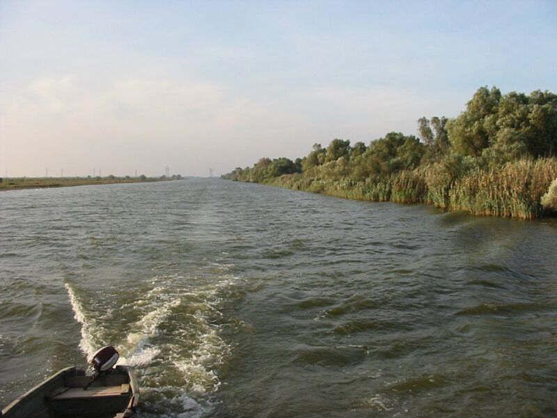
Caraorman a village in the heart of the Danube Delta.
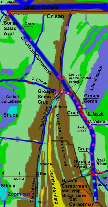
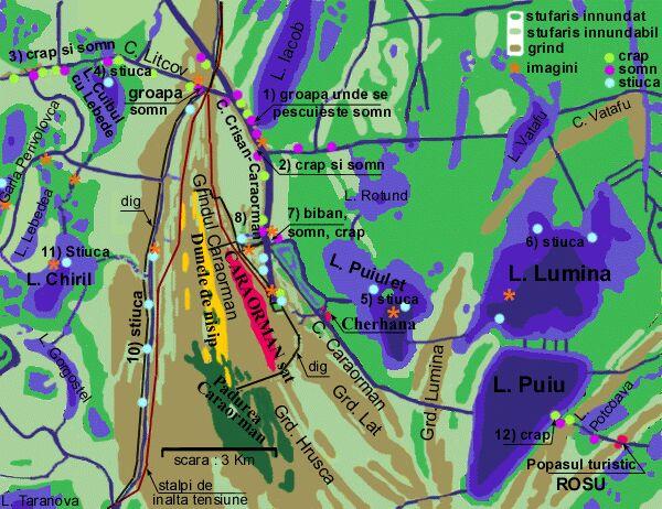
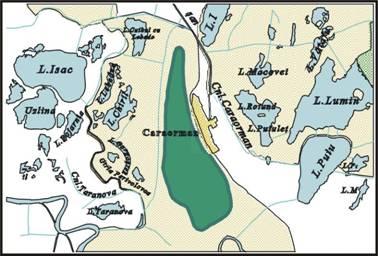
The name of CARAORMAN comes from Turkish and means The Black Forest. The village is about 3.5 km long and 500 m wide and lays on the Caraorman sand bank between the Sulina branch and The Sfantu Gheorghe branch, at about 12 km from Crisan. The Caraorman sand bank is a sandy soil of sea origin with a length of 18 km a maximum width of 8 km and height up to 7-9 m. To get to Caraorman, one can use more routes.
The village population is made of Ukrainians (appreciatively 490 inhabitants, just about as many as in Crisan) welcoming and hard working people whose main occupation is fishing. In the Danube Delta live approximatively 15 000 people of different nationalities: 80% Romanians, 10% Lippovans, 10% Ukrainians. There are very clear differences between Lippovans and Ukrainians: those of language, habits, traditions and ever physical appearance. The language of the inhabitants of Caraorman is very close to the Ukrainian language and care also be met in: Sf. Gheorghe, Murighiol, Crisan, Letea. The large surface of the sand bank on which the village is situated has permitted that beside the main income source (fishing) the villagers breeded cattle. Breeding cattle has reached its highest scores in 1987-1989 when the cattle population surpassed 2000 items. After the Revolution of 1989 the distraction on purpose of this branch of agriculture as well as the staggering rise of fish prices, has made the villagers to re-orient themselves towards fishing, giving up cattle breeding, which had become an unprofitable business.
Caraorman is a village with large gardens and well made households. The specific element of Delta's houses is the reed roof, which gives them a certain rustic charm. In the Danube Delta the reed is used as construction material for roofs, fences and other out buildings, as the Danube Delta is the largest area in the world with reed thickets.
|