|
Although Romanian toxic spills into Danube tributataries will ultimately impact the Danube Delta, certain Romanian spills also affect Ukraine more immediately, as for example
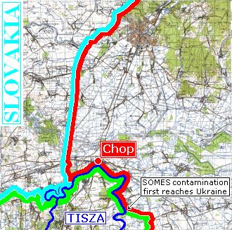
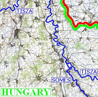
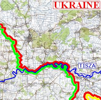
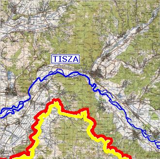
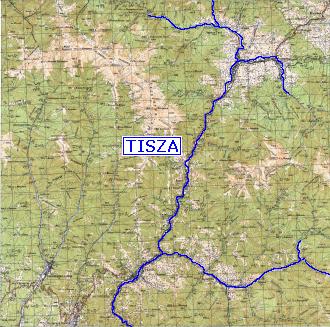
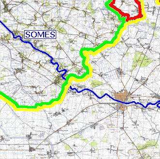
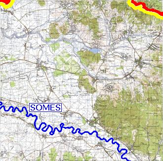
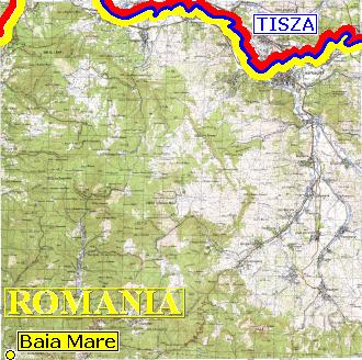
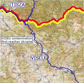
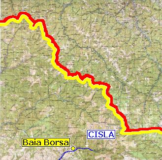
the 30-Jan-2000 spill at Baia Mare of 1,000 tons of cyanide-and-heavy-metal sludge which followed the Somes and Tisza Rivers to affect Ukraine over a short stretch of the Tisza (on whose Ukrainian bank are situated the town of Chop along with five villages), and the 10-Mar-2000 and 14-Mar-2000 spills at Baia Borsa, the first of which consisted of 20,000 tons of heavy metal sludge, which followed the Viseu and Tisza Rivers to affect Ukraine over a long, and later a short, stretch of the Tisza (on whose banks are situated a large number of Ukrainian towns and villages).
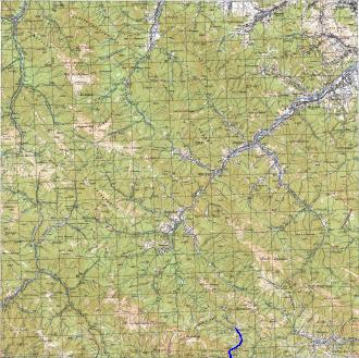
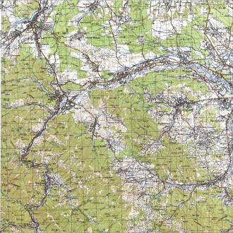
The three rivers which carry the toxic spills in question flow from east to west in the accompanying maps. Not shown on the instant maps is that once within Hungary, the Tisza heads south and into Yugoslavia where it joins the Danube, which at that point has begun to flow eastward toward the Black Sea.
|
|
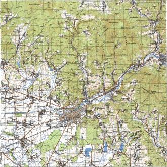
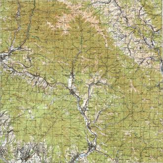
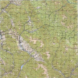
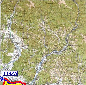
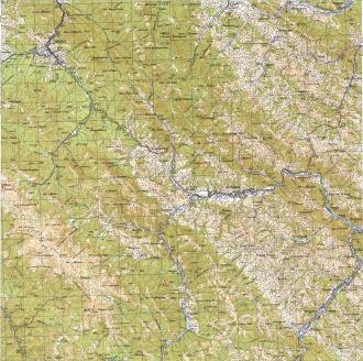
Each tile in the mosaic can be clicked to reveal a corresponding detailed map (after which, clicking the BACK button in the browser will return to this mosaic, and clicking BACK a second time will return to the body of the "Danube Delta Disaster" discussion). |